A vision of Britain through time
A vision of Britain from 1801 to now.
Including maps, statistical trends and historical descriptions.
A vision of Britain through time
A vision of Britain from 1801 to now.
Including maps, statistical trends and historical descriptions.
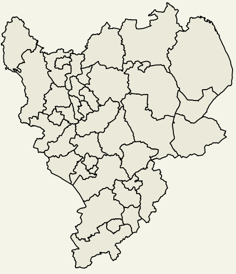
To view trends for your area:
| Local Authority | Type |
|---|---|
| Derby | Unitary |
| Leicester | Unitary |
| Nottingham | Unitary |
| Rutland | Unitary |
| DERBYSHIRE | County |
| Amber Valley | District |
| Bolsover | District |
| Chesterfield | District |
| Derbyshire Dales | District |
| Erewash | District |
| High Peak | District |
| North East Derbyshire | District |
| South Derbyshire | District |
| LEICESTERSHIRE | County |
| Blaby | District |
| Charnwood | District |
| Harborough | District |
| Hinckley and Bosworth | District |
| Melton | District |
| North West Leicestershire | District |
| Oadby and Wigston | District |
| LINCOLNSHIRE | County |
| Boston | District |
| East Lindsey | District |
| Lincoln | District |
| North Kesteven | District |
| South Holland | District |
| South Kesteven | District |
| West Lindsey | District |
| NORTHAMPTONSHIRE | County |
| Corby | District |
| Daventry | District |
| East Northamptonshire | District |
| Kettering | District |
| Northampton | District |
| South Northamptonshire | District |
| Wellingborough | District |
| NOTTINGHAMSHIRE | County |
| Ashfield | District |
| Bassetlaw | District |
| Broxtowe | District |
| Gedling | District |
| Mansfield | District |
| Newark and Sherwood | District |
| Rushcliffe | District |